---
geojson-shave reduces the size of GeoJSON files by:
- Reducing the precision of latitude/longitude coordinates to the specified decimal places.
- Eliminating unnecessary whitespace.
- (Optionally) replacing the properties key's value with null/empty dictionary.
This tool assumes that your GeoJSON file conforms to the [RFC 7946](https://datatracker.ietf.org/doc/html/rfc7946).
Please be aware that when you use fewer decimal places you can lose some accuracy. _"The fifth decimal place is worth up to 1.1 m: it distinguish trees from each other"_ - read more [here](https://gis.stackexchange.com/questions/8650/measuring-accuracy-of-latitude-and-longitude).
## Installation
```
$ pip install geojson-shave
```
## Usage
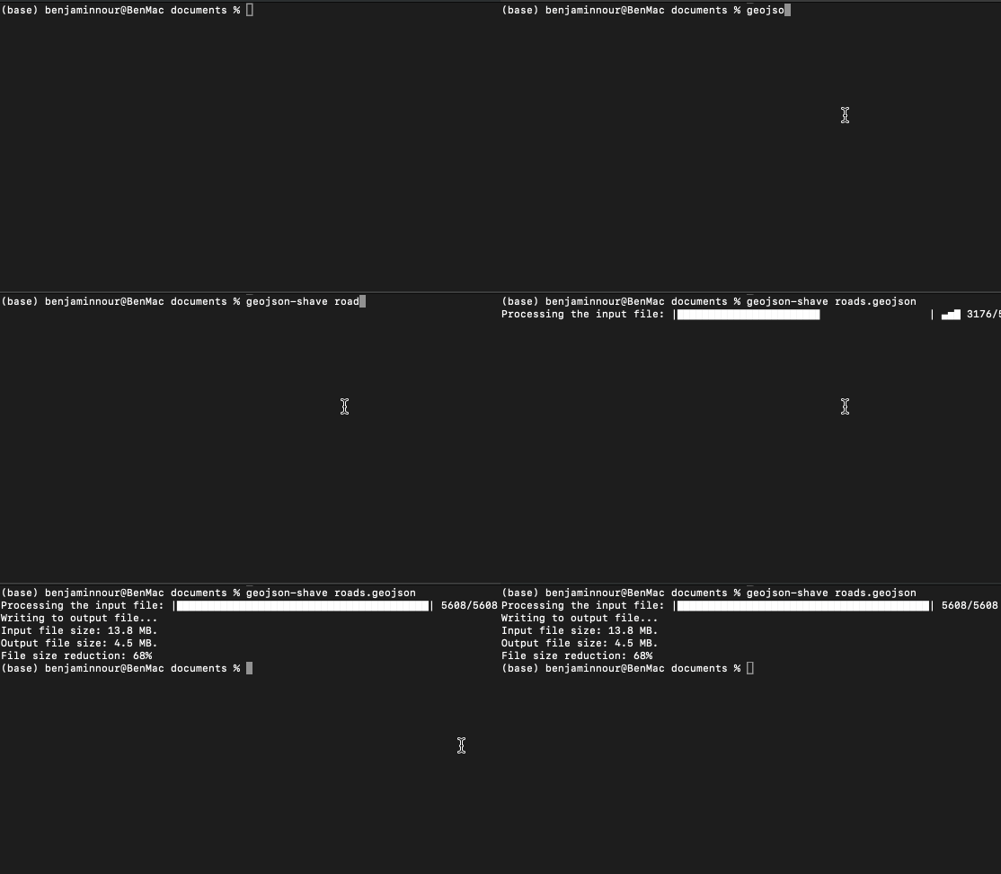
Simply pass the file path of your GeoJSON file and it will truncuate the coordinates to 5 decimal places, outputing to the current working directory:
```
$ geojson-shave roads.geoson
```
Alternatively you can specify the number of decimal points you want the coordinates truncuated to:
```
$ geojson-shave roads.geojson -d 3
```
You can also specify if you only want certain Geometry object types in the file to be processed:
```
$ geojson-shave roads.geojson -g LineString Polygon
```
Note that the -g option doesn't apply to objects nested within Geometry Collection.
And to reduce the file size even further you can nullify the property value of Feature objects:
```
$ geojson-shave roads.geojson -p
```
Or select a positive list of properties to keep:
```
$ geojson-shave roads.geojson -kp id,name,level
```
Output to a directory other than the current working directory:
```
$ geojson-shave roads.geojson -o ../data/output.geojson
```