With the goal to provide more opportunities to the youth, OpenStreetMap Uganda developed the internship program to educate and involve more people in the OpenStreetMap community. This gives them an opportunity to contribute and participate in improving their communities through OpenStreetMap data creation and application to community challenges. They are also skilled in digital & soft skill sets that empower them in society.
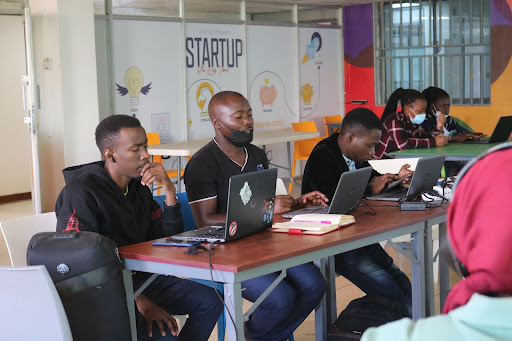
Objective of the internshipOSM Uganda has helped improve digital skills of a large number of people in the whole of Africa through the online internship programmes. We have so far had three cohorts trained and a fourth one that started on the 30th of May 2022. Through this programme, the interns are introduced to the OpenStreetMap platform and made aware of how we can access, contribute and use the data on the platform in solving problems in our community.
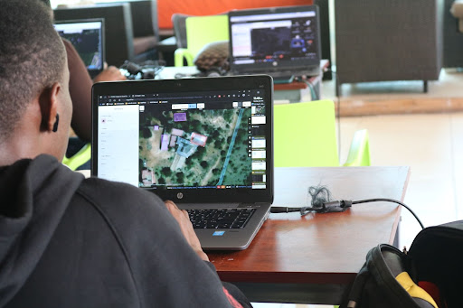
Through this platform, the interns are able to add their communities to the map by remote mapping their own areas, this data can later be used for development and resource distribution planning by the responsible bodies such as urban planners. The interns are further introduced to GIS and trained on how to use QGIS to enable them analyze and map out the data contributed to the platform, the maps generated give a better view of resource distribution in certain areas and where there is need for improvement.
Drone technology is a topic that cannot be left out in these training sessions since it easier to map areas surveyed by a drone. Drones give high quality processed images that are very clear to map, they are also important in surveying areas that cannot be easily accessed especially in terms of disaster response.
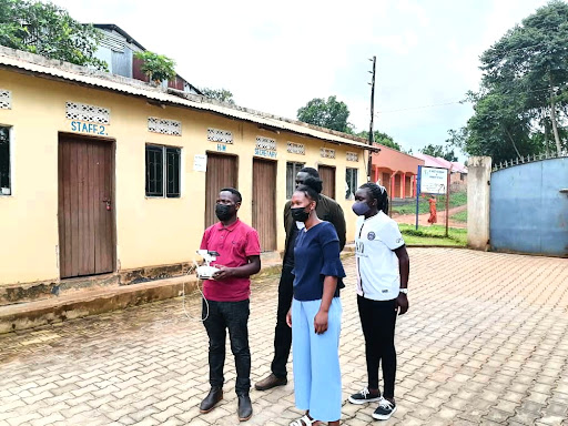
One is capable of mapping an area and calculating how much damage has been done on site by using drone technology for example in case of floods or a mudslide.
OpenStreetMap Uganda is grateful for all the support and collaborations that have always made the internship programs successful.
Plot 90,Hive Colab 4th Floor, Kanjokya House, Kanjokya Street
info@mapuganda.org
+2567 0134 4950