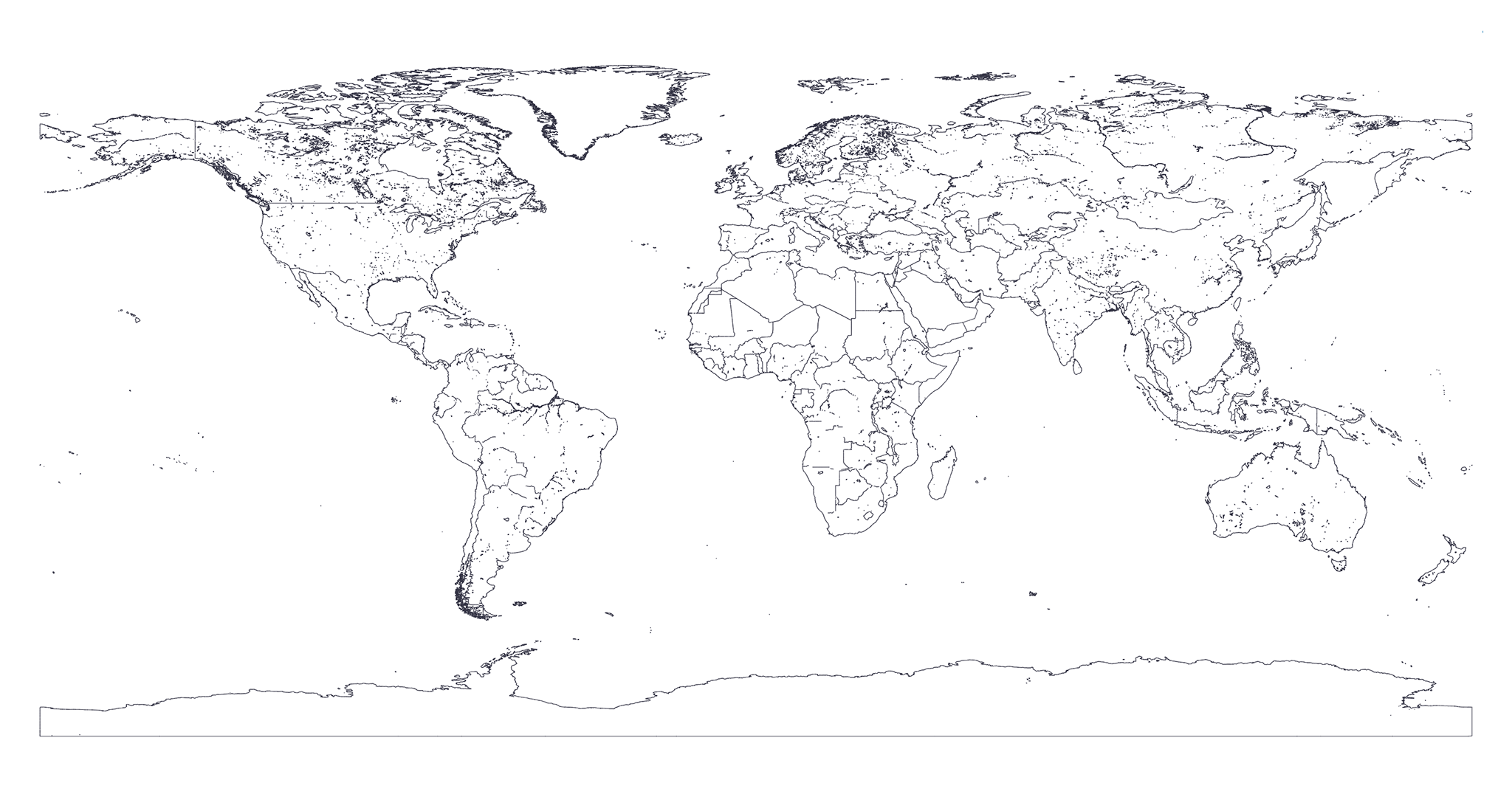
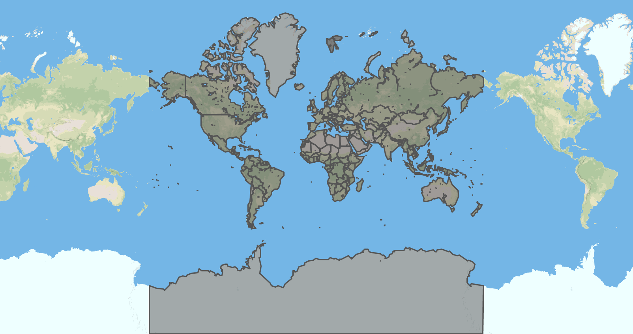
### Generation process
To export these maps we first wait [countries-maritime](./countries-maritime.md) and [earth-lands](./earth-lands.md) maps to be generated.
Then we clip from [countries-maritime](./countries-maritime.md) the [earth-lands](./earth-lands.md) using [mapshaper](https://github.com/mbloch/mapshaper)'s [clip](https://github.com/mbloch/mapshaper/wiki/Command-Reference#-clip) feature.
Finally we apply the [Douglas-Peucker algorithm](https://en.wikipedia.org/wiki/Ramer%E2%80%93Douglas%E2%80%93Peucker_algorithm#Algorithm) with different resolutions using [mapshaper](https://github.com/mbloch/mapshaper)'s [simplify](https://github.com/mbloch/mapshaper/wiki/Command-Reference#-simplify) feature.
> You can find the source code of the exportation process [here](gulp/maps/countries-land.js).
### Downloads
Below you can find the download to all the resolutions available for this kind of map.
Click on badges to interact with them.