## Map of countries' political maritime borders

### Generation process To export these maps we retrieve the list of countries with [osm-countries](https://github.com/simonepri/osm-countries) and for each country, we fetch its GeoJSON using [osm-geojson](https://github.com/simonepri/osm-geojson). Then we collect all GeoJSONs in a single GeoJSON on which we apply the [Douglas-Peucker algorithm](https://en.wikipedia.org/wiki/Ramer%E2%80%93Douglas%E2%80%93Peucker_algorithm#Algorithm) with different resolutions using [mapshaper](https://github.com/mbloch/mapshaper)'s [simplify](https://github.com/mbloch/mapshaper/wiki/Command-Reference#-simplify) feature. > You can find the source code of the exportation process [here](gulp/maps/countries-maritime.js). ### Downloads Below you can find the download to all the resolutions available for this kind of map. Click on badges to interact with them.
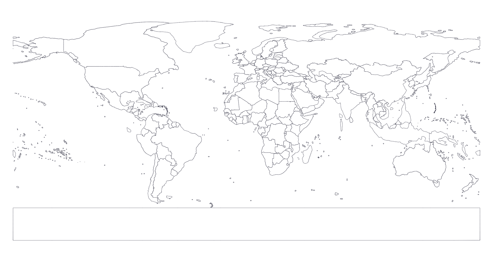
Resolution Preview Size GH Downloads NPM Downloads
map resolution map preview file size github downloads npm downloads