# World Atlas TopoJSON
This repository provides a convenient redistribution of [Natural Earth](http://www.naturalearthdata.com/)’s [vector data](http://www.naturalearthdata.com/downloads/), version 4.1.0 as TopoJSON. For earlier editions, see [past releases](https://github.com/topojson/world-atlas).
### Usage
In a browser, using [d3-geo](https://github.com/d3/d3-geo) and Canvas:
https://observablehq.com/@d3/world-map
In a browser, using [d3-geo](https://github.com/d3/d3-geo) and SVG:
https://observablehq.com/@d3/world-map-svg
In Node, using [d3-geo](https://github.com/d3/d3-geo) and [node-canvas](https://github.com/Automattic/node-canvas):
https://bl.ocks.org/mbostock/885fffe88d72b2a25c090e0bbbef382f
## File Reference
# countries-110m.json · [Download](https://cdn.jsdelivr.net/npm/world-atlas@2/countries-110m.json "Source")
A [TopoJSON file](https://github.com/topojson/topojson-specification/blob/master/README.md#21-topology-objects) containing the geometry collections countries and land. The geometry is quantized, but not projected; it is in spherical coordinates, decimal degrees. This topology is derived from the Natural Earth’s [Admin 0 country boundaries](http://www.naturalearthdata.com/downloads/110m-cultural-vectors/), 1:110m small scale. The land boundary is computed by [merging](https://github.com/topojson/topojson-client/blob/master/README.md#merge) countries, ensuring a consistent topology.
# countries-50m.json · [Download](https://cdn.jsdelivr.net/npm/world-atlas@2/countries-50m.json "Source")
A [TopoJSON file](https://github.com/topojson/topojson-specification/blob/master/README.md#21-topology-objects) containing the geometry collections countries and land. The geometry is quantized, but not projected; it is in spherical coordinates, decimal degrees. This topology is derived from the Natural Earth’s [Admin 0 country boundaries](http://www.naturalearthdata.com/downloads/50m-cultural-vectors/), 1:50m medium scale. The land boundary is computed by [merging](https://github.com/topojson/topojson-client/blob/master/README.md#merge) countries, ensuring a consistent topology.
# countries-10m.json · [Download](https://cdn.jsdelivr.net/npm/world-atlas@2/countries-10m.json "Source")
A [TopoJSON file](https://github.com/topojson/topojson-specification/blob/master/README.md#21-topology-objects) containing the geometry collections countries and land. The geometry is quantized, but not projected; it is in spherical coordinates, decimal degrees. This topology is derived from the Natural Earth’s [Admin 0 country boundaries](http://www.naturalearthdata.com/downloads/10m-cultural-vectors/), 1:10m large scale. The land boundary is computed by [merging](https://github.com/topojson/topojson-client/blob/master/README.md#merge) countries, ensuring a consistent topology.
# land-110m.json · [Download](https://cdn.jsdelivr.net/npm/world-atlas@2/land-110m.json "Source")
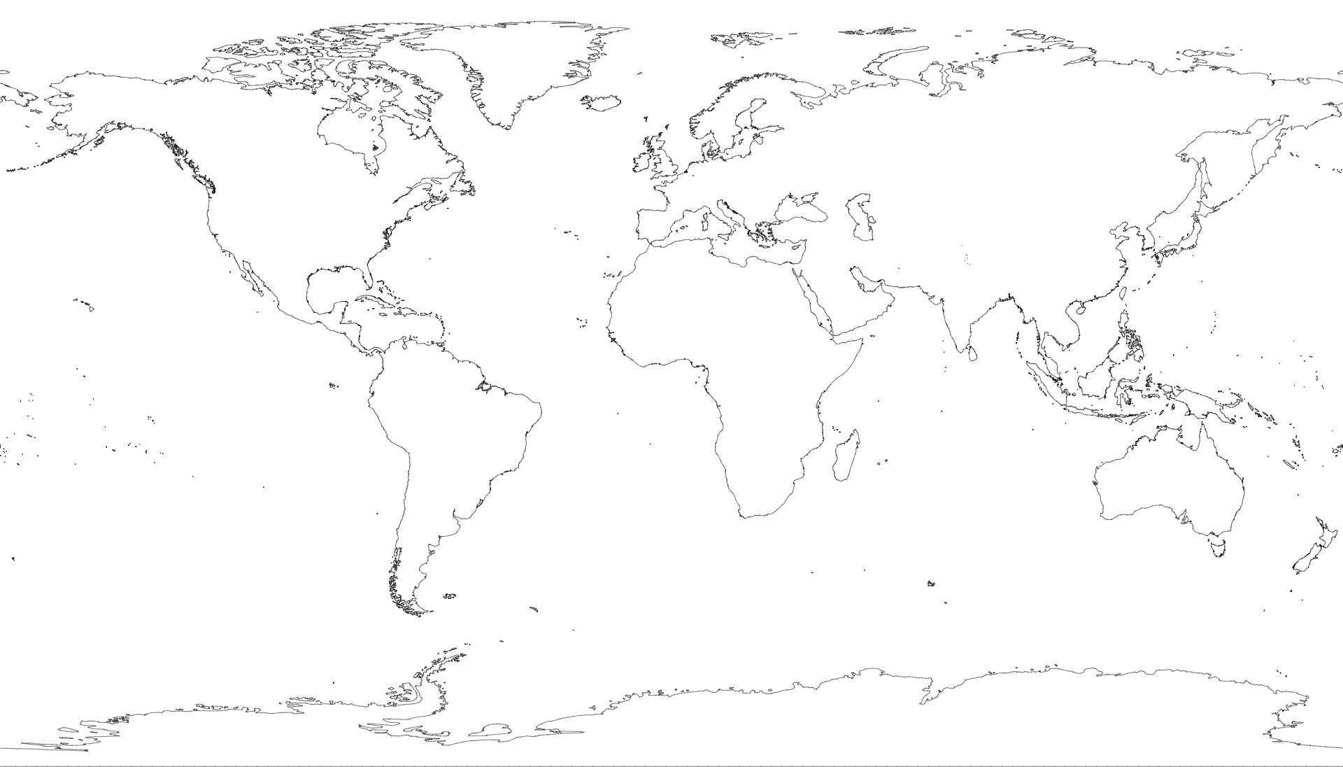
A [TopoJSON file](https://github.com/topojson/topojson-specification/blob/master/README.md#21-topology-objects) containing the geometry collection land. The geometry is quantized, but not projected; it is in spherical coordinates, decimal degrees. This topology is derived from the Natural Earth’s [land boundaries](http://www.naturalearthdata.com/downloads/110m-physical-vectors/), 1:110m small scale.
# land-50m.json · [Download](https://cdn.jsdelivr.net/npm/world-atlas@2/land-50m.json "Source")
A [TopoJSON file](https://github.com/topojson/topojson-specification/blob/master/README.md#21-topology-objects) containing the geometry collection land. The geometry is quantized, but not projected; it is in spherical coordinates, decimal degrees. This topology is derived from the Natural Earth’s [land boundaries](http://www.naturalearthdata.com/downloads/50m-physical-vectors/), 1:50m medium scale.
# land-10m.json · [Download](https://cdn.jsdelivr.net/npm/world-atlas@2/land-10m.json "Source")
A [TopoJSON file](https://github.com/topojson/topojson-specification/blob/master/README.md#21-topology-objects) containing the geometry collection land. The geometry is quantized, but not projected; it is in spherical coordinates, decimal degrees. This topology is derived from the Natural Earth’s [land boundaries](http://www.naturalearthdata.com/downloads/10m-physical-vectors/), 1:10m large scale.
# *world*.objects.countries
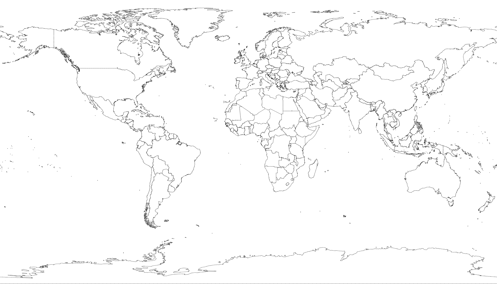 Each country has two fields:
* *country*.id - the three-digit [ISO 3166-1 numeric country code](https://en.wikipedia.org/wiki/ISO_3166-1_numeric), such as `"528"`
* *country*.properties.name - the country name, such as `"Netherlands"`
# *world*.objects.land
Each country has two fields:
* *country*.id - the three-digit [ISO 3166-1 numeric country code](https://en.wikipedia.org/wiki/ISO_3166-1_numeric), such as `"528"`
* *country*.properties.name - the country name, such as `"Netherlands"`
# *world*.objects.land