---
## Quick start
```bash
npx skills add Oldcircle/geo-sleuth
```
Pick your agents when prompted. Then hand your agent a photo and say:
> find where this photo was taken
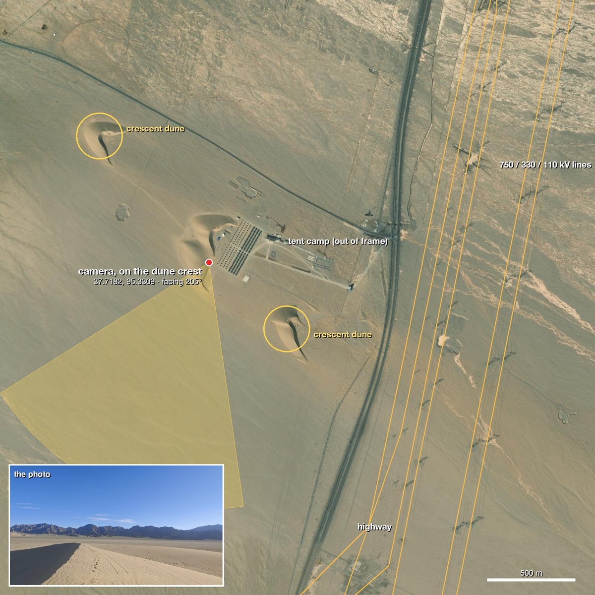
On first use, ask the agent to run `doctor.py` from the installed skill’s `scripts/` folder and address any failed checks (see [Requirements and setup](#requirements-and-setup)). That is the whole interface. The agent reads `SKILL.md`, runs the scripts, and comes back with the camera position, the direction it was facing and a satellite evidence image. Prefer to copy the folder yourself? See [Installation](#installation).
## Why geo-sleuth
- **One photo, one sentence.** Give your agent a photo and say *find where this photo was taken*. You get back the camera position, the direction it was facing, and a satellite evidence image.
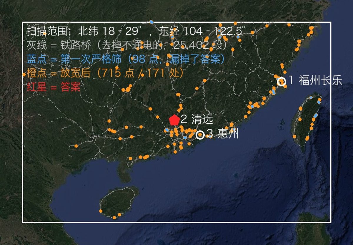
- **It works when there is nothing to read.** No sign, no plate, no landmark: OpenStreetMap geometry, elevation data, satellite tiles and street view carry the search on their own.
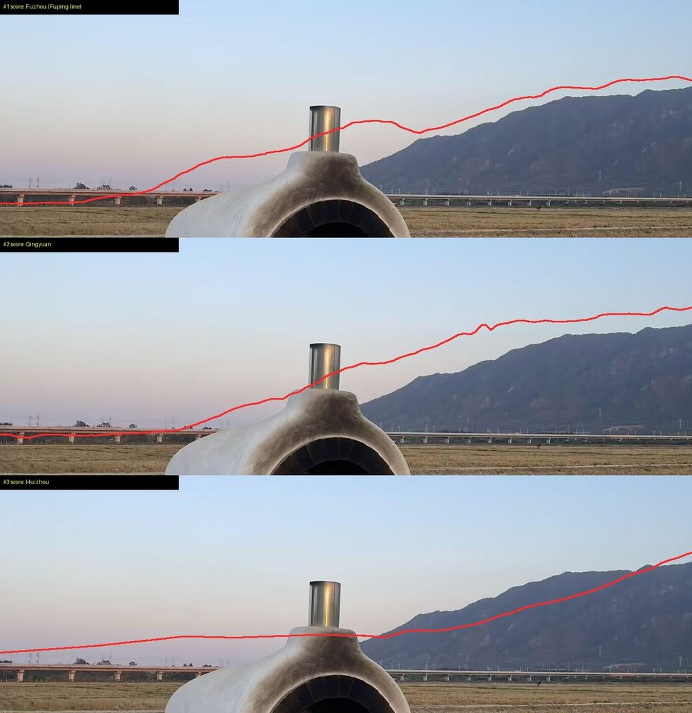
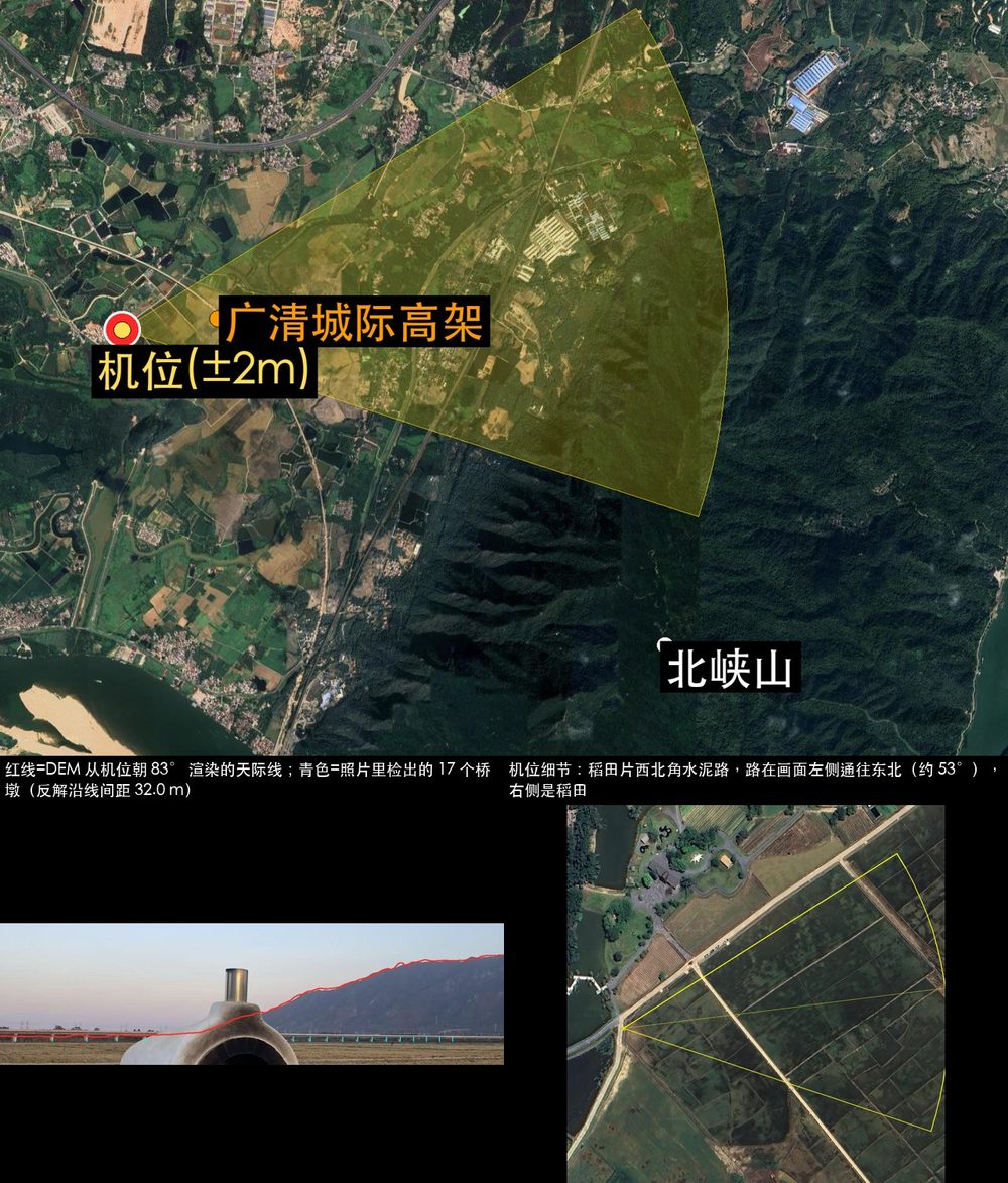
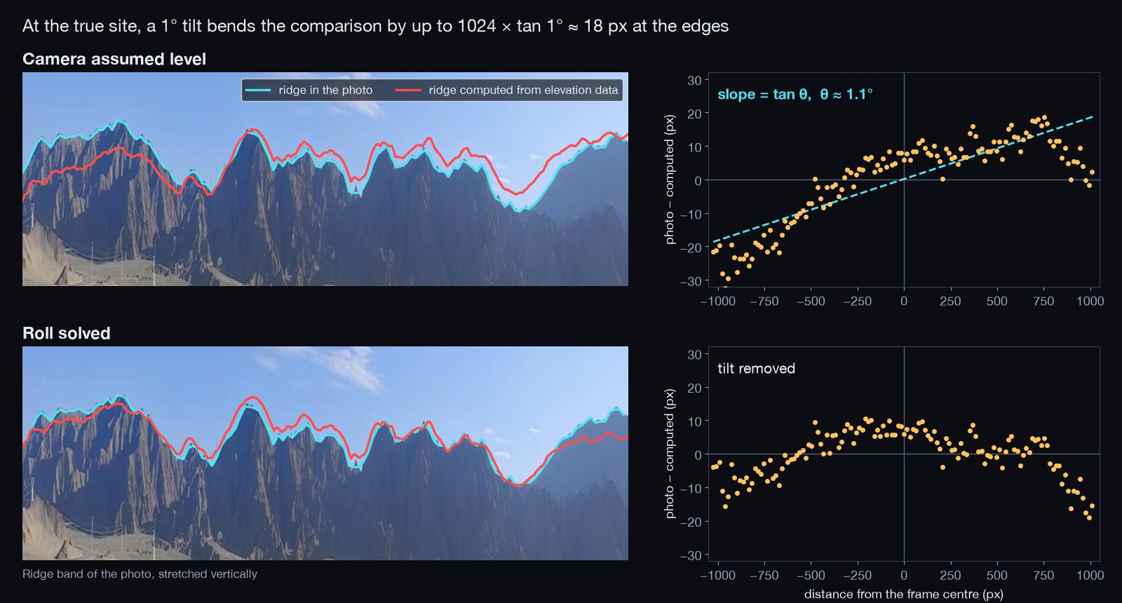
- **Geometry instead of guesswork.** Pier spacing becomes a distance ruler, shadows become a bearing, a ridge line becomes a fingerprint that elevation data can be matched against.
- **Every claim points at a file.** A conclusion has to name the command that ran in the session and the file it produced. Population and fame are not evidence.
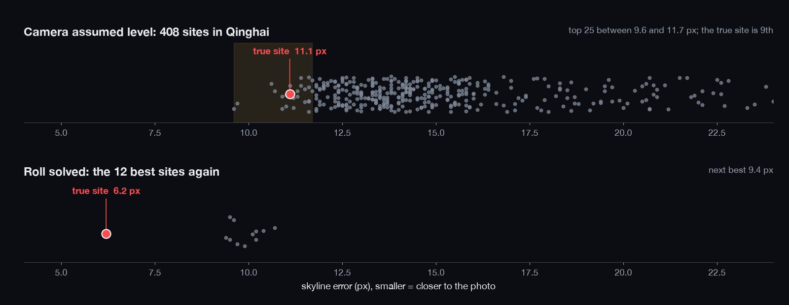
- **Scripts rank, the model judges.** Twenty single-purpose scripts search, score and sort; the model only picks among the top few.
- **One skill, every agent.** A standard Agent Skill — `SKILL.md` plus plain Python scripts — so the same folder runs in Claude Code, Codex, Cursor, Gemini CLI, OpenCode and GitHub Copilot.
- **Answers carry an error radius.** Coordinates ± radius, the camera heading, an evidence image and a graded confidence.
## Cases
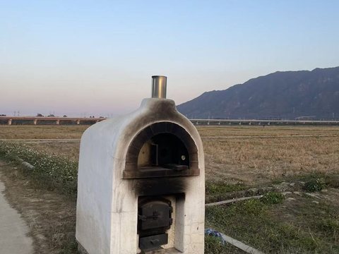
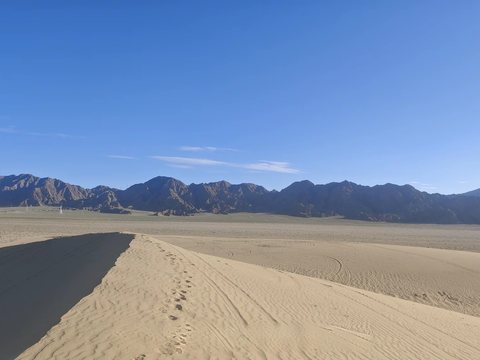
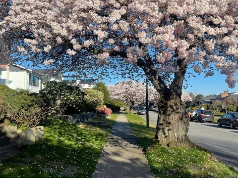
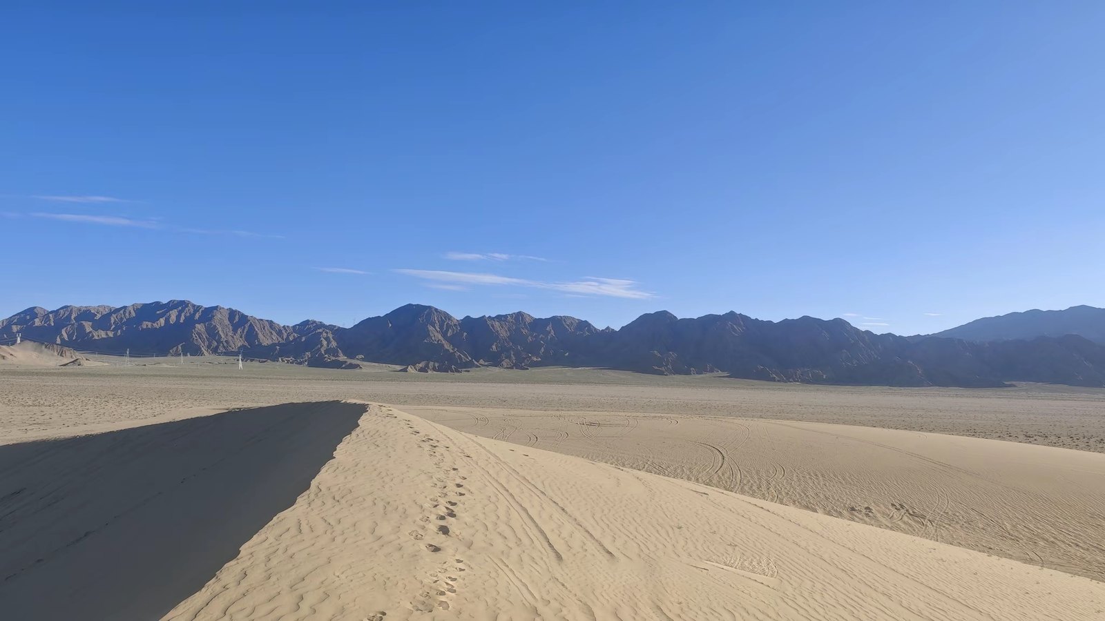
None of these photos had GPS data. Each case lists what the skill read from the photo, how it narrowed the search, and how far the result landed from the confirmed camera position.











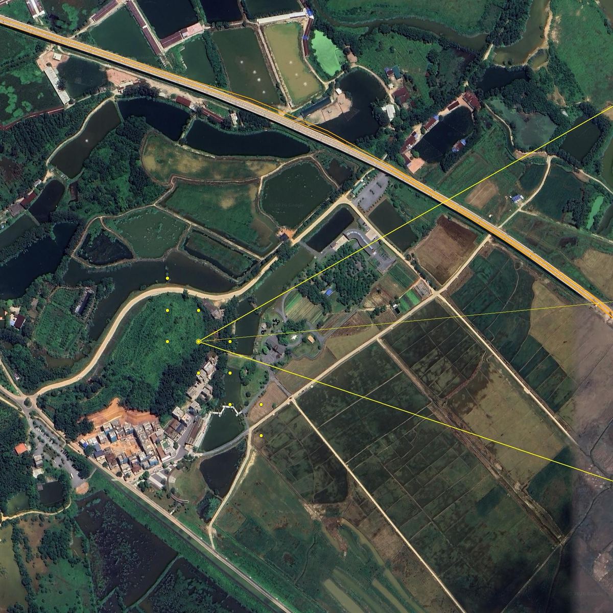
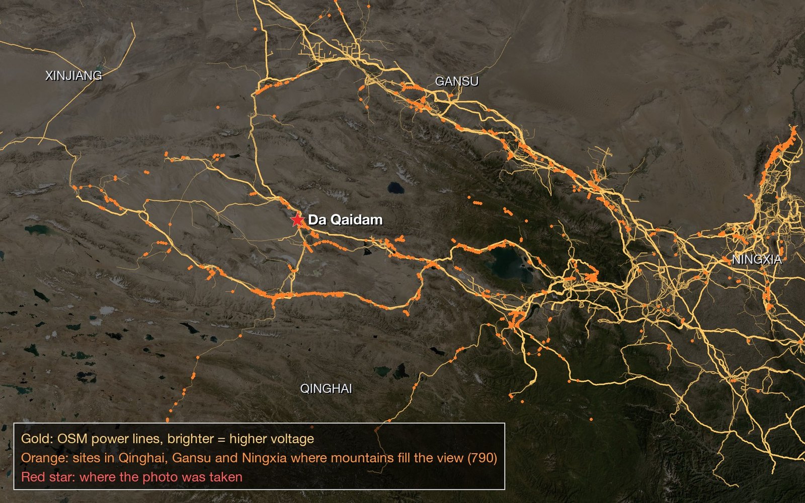
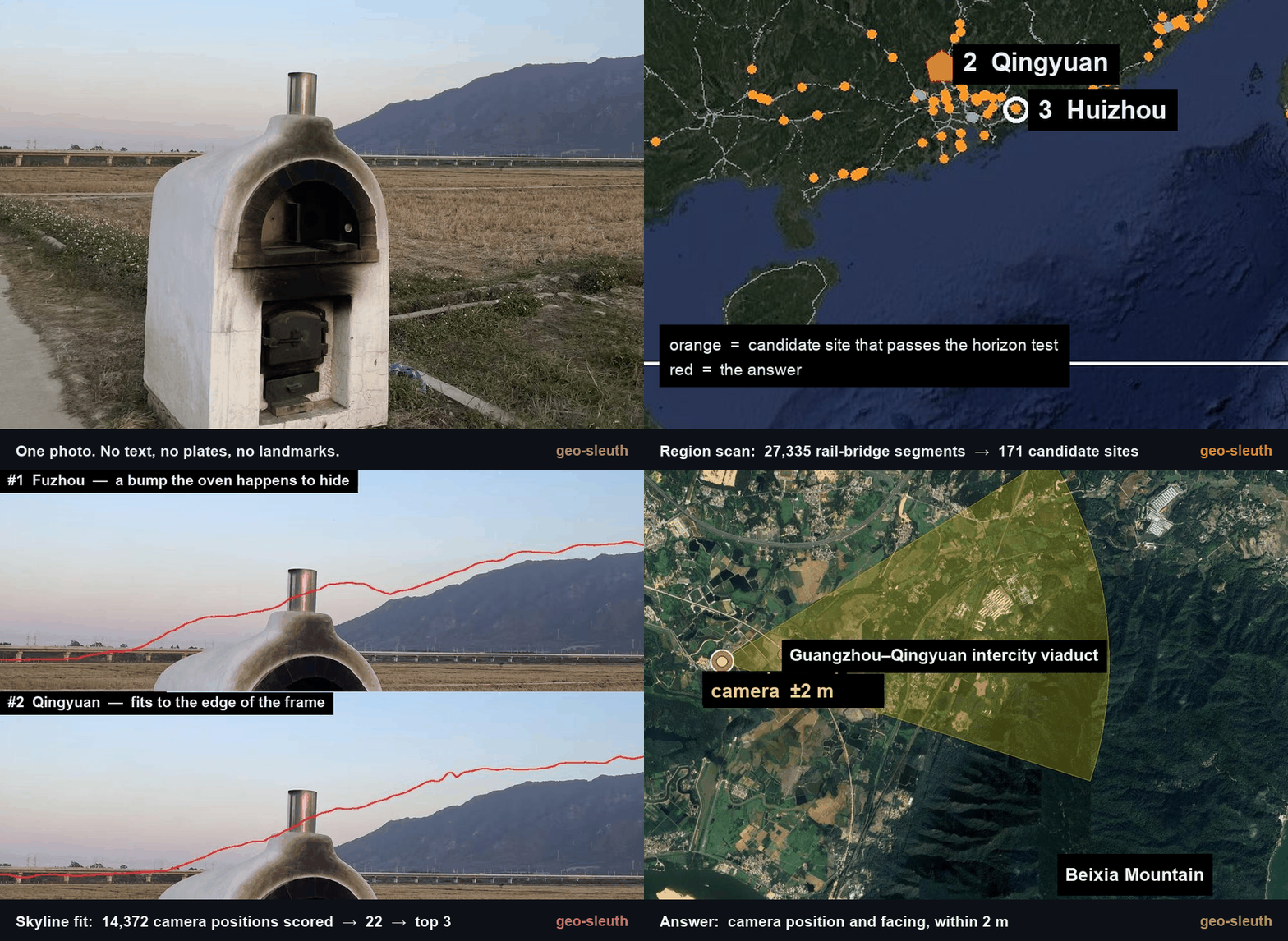 *No text. No plates. No landmarks. One bridge, one mountain. Located to within 2 m.*