Early Warning Systems

In Faymetrics we have strived towards developing the cutting edge technologies regarding 
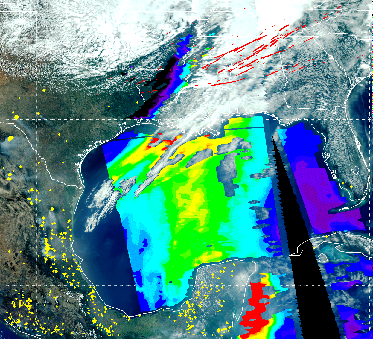
systems designed to warn users about extreme weather effects, such as wildfires, storms, dust storms, volcanic ash distribution and many more. These machines help their owners by significantly reducing costs and time consumed regarding extreme weather detection.

What does an Early warning system do?

Early warning information are standardised messages (signs, words, sound or images) that announce an imminent danger, e.g. from natural hazards. Heavy rain early warning information is dealing with the eponymous natural hazard “heavy rain”. Information is provided by higher authorities, regional or national institutions. But early warning information itself does not keep hazards from turning into disasters. It needs entire early warning systems for enabling individuals at-risk, communities and organisations to prepare and act appropriately – in advance and during impending hazard events.

Types of EAS at the level at which they are operated

  1. Community or people-centred early warning systems, operated at a more locallevel by a municipal government or a community. The most typical systems of this kind address flood.
  2. National early warning systems operated by a national-level government agency like a meteorological department, a geological observatory or institute, a health or an agricultural ministry.
  3. Regional systems operated at a more regional level. Two examples in this category are the Famine Early Warning System Network (FEWSNET) operated by the United States of America in various regions of the world and the European Meteoalarm.
  4. Global systems operated at the international level by international organizations like the WHO and FAO.

Discover our latest Products

DHMZ weather warnings

DHMZ system
Product Code: #PTUR127
Price: 104.000$

Croatian Waters receives data from the DHMZ about the forecasted precipitation through the ALADINHR4 model. It covers forecasted precipitation (rain, snow, total), temperature, humidity, wind and cloud cover in a 4×4 km grid, and is available for 72 hours in advance. The file format is ASCII. In addition to that, data from the global ECMWF model is also received through DHMZ (the same parameters).

Rating: 8.9/10

FeWIS – Weather information system for civil protection

FEWIS system
Product Code: #UCVMR127
Price: 172.000$

FeWIS is an information platform with limited access mainly for civil protection units (e.g. fire brigades). Through FeWIS, users are provided with current weather information, weather warnings and current radar derived precipitation data as well as short time radar-based forecasts (via the storm cell identification and tracking method KONRAD). Furthermore, FeWIS informs also about the current wild fire risk and about pollutant dispersion in the air in case of an accident.

Rating: 7.8/10

Flood forecasting and warning service

flood forecasting system
Product Code: #IIIFR127
Price: 172.000$

In one glance you will be able to see on an overview map where in Europe the weather might become dangerous. The colours used on the maps on the website indicate the severity of the danger and its possible impact in four warning levels (green, yellow, orange, red). On the European map each participating country is coloured consistent with the highest colour assigned to a current warning. Clicking on a country will link you to national and regional warnings. Additionally a RSS feed gives the opportunity to subscribe and to customize the information stream.

Rating: 9.1/10